


easyrtk
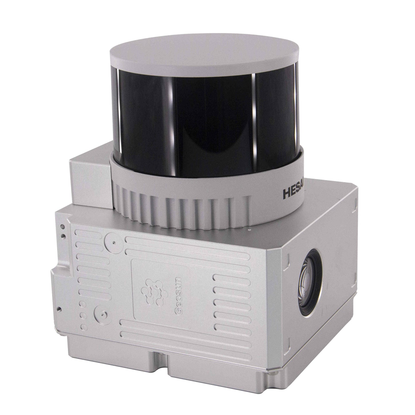
GS-260X LiDAR Solution Surveying Grade HESAI XT M2X Sensor High Acuraccy
GS-260X LiDAR Solution Surveying Grade HESAI XT M2X Sensor High Acuraccy
Couldn't load pickup availability
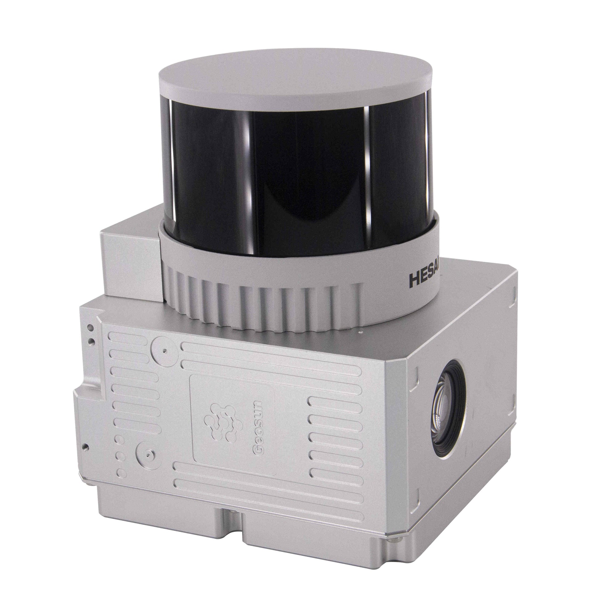
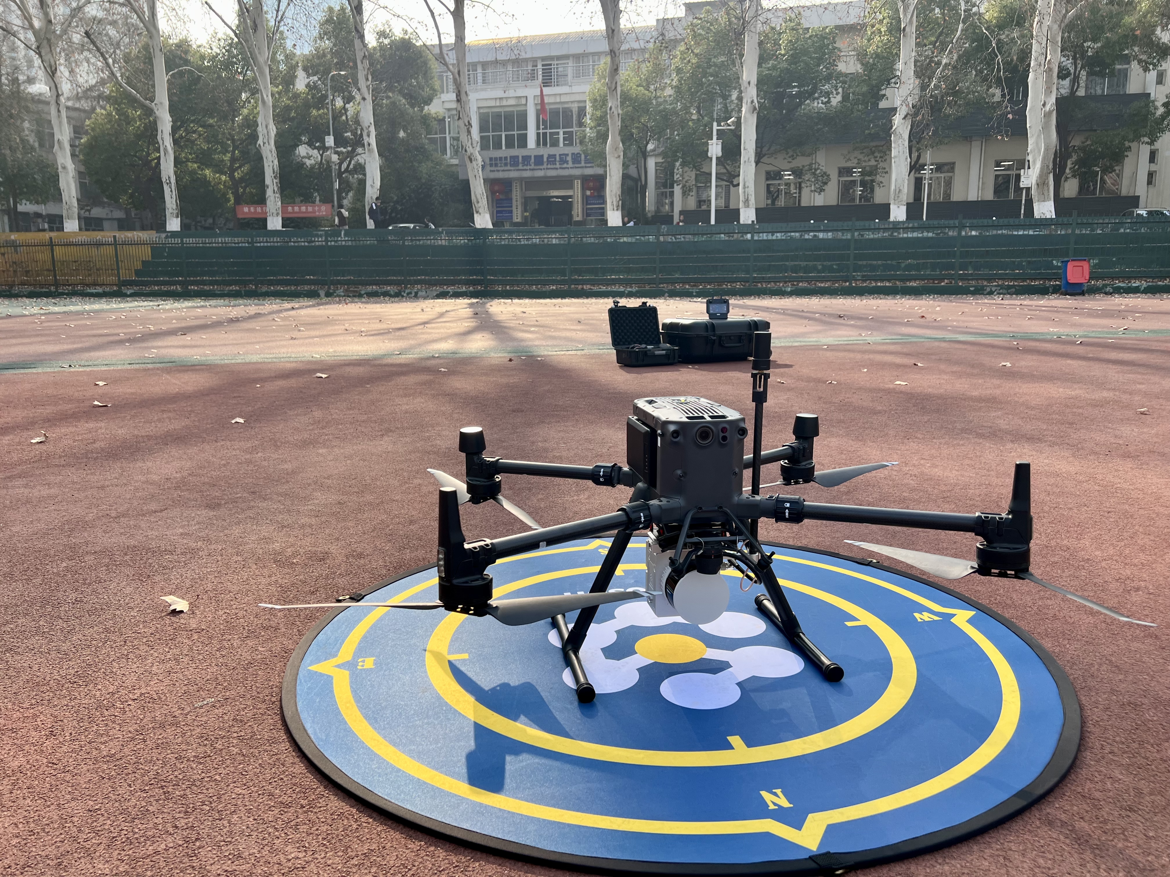
gAirHawk Series GS-260X UAV LiDAR Scanning System
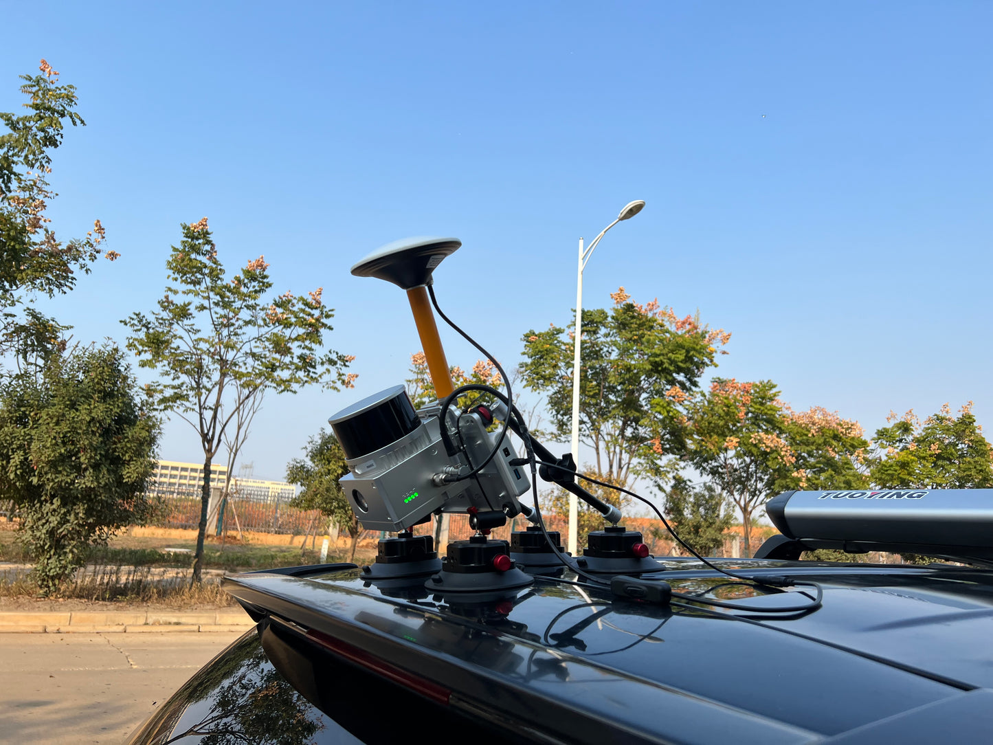
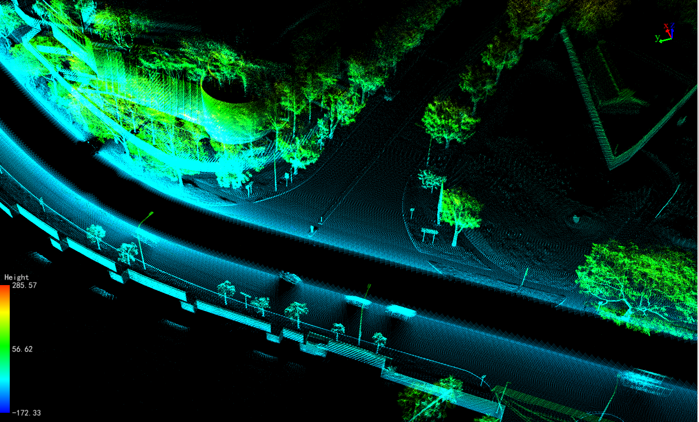
gAirHawk GS-260X is a kind of Mid-range, compact LiDAR point cloud data acquisition system, integrated HESAI HESAI XTM2X laser scanner, GNSS and IMU positioning and attitude determination system, and storage control unit, is able to real-time, dynamically, massively collect high-precision point cloud data and rich image information. It is widely used in the acquisition of 3D spatial information in surveying, electricity, forestry, agriculture, land planning.
Specification of LiDAR Scanning System gAirHawk GS-260X
|
LiDAR Scanning System gAirHawk GS-260X |
||
|
|
Item Name |
System Parameters |
|
Parameters |
Weight |
1.15kg |
|
Measuring accuracy |
Less than 0.1m/0.05m(@150m) |
|
|
Working temperature |
-20℃~+65℃ |
|
|
Power range |
12V- 24V |
|
|
Consumption |
10W |
|
|
Carrying Platform |
DJI M300, M600 PRO and Other brand |
|
|
Storage |
64 GB storage, maximum support 128GB TF card |
|
|
Lidar Unit |
Measuring Range |
80m@10% Reflectivity (Max 300m) |
|
Laser class |
905nm Class1 (IEC 60825-1:2014) |
|
|
Channel |
32-channel |
|
|
Range accuracy |
±1cm (typical Value) |
|
|
Scanning frequency |
10HZ, 20HZ |
|
|
data |
Trible-echo 1,920,000 Points/Sec |
|
|
FOV |
360°, adjustable |
|
|
Laser sensor |
HESAI XTM2X |
|
|
POS Unit |
Update frequency |
200HZ |
|
Heading accuracy |
0.017° |
|
|
Pitch accuracy |
0.005° |
|
|
Rolling accuracy |
0.005° |
|
|
Position accuracy |
≤0.05m |
|
|
GNSS signal type |
GPSL1/L2/L5 GLONASSL1/L2 BDS B1/B2/B3 GAL E1/E5a/5b |
|
|
Pre-processing software |
POS software |
Output information: position, speed, attitude |
|
Point cloud software |
Output point cloud data format: LAS format, custom TXT format |
|
|
Camera (built-in) |
FOV |
80 Degree |
|
Effective Pixel |
26 Mega Pixel |
|
|
Trigger event |
Distance or Time trigger |
|
Applications of LiDAR Scanning System gAirHawk GS-260X
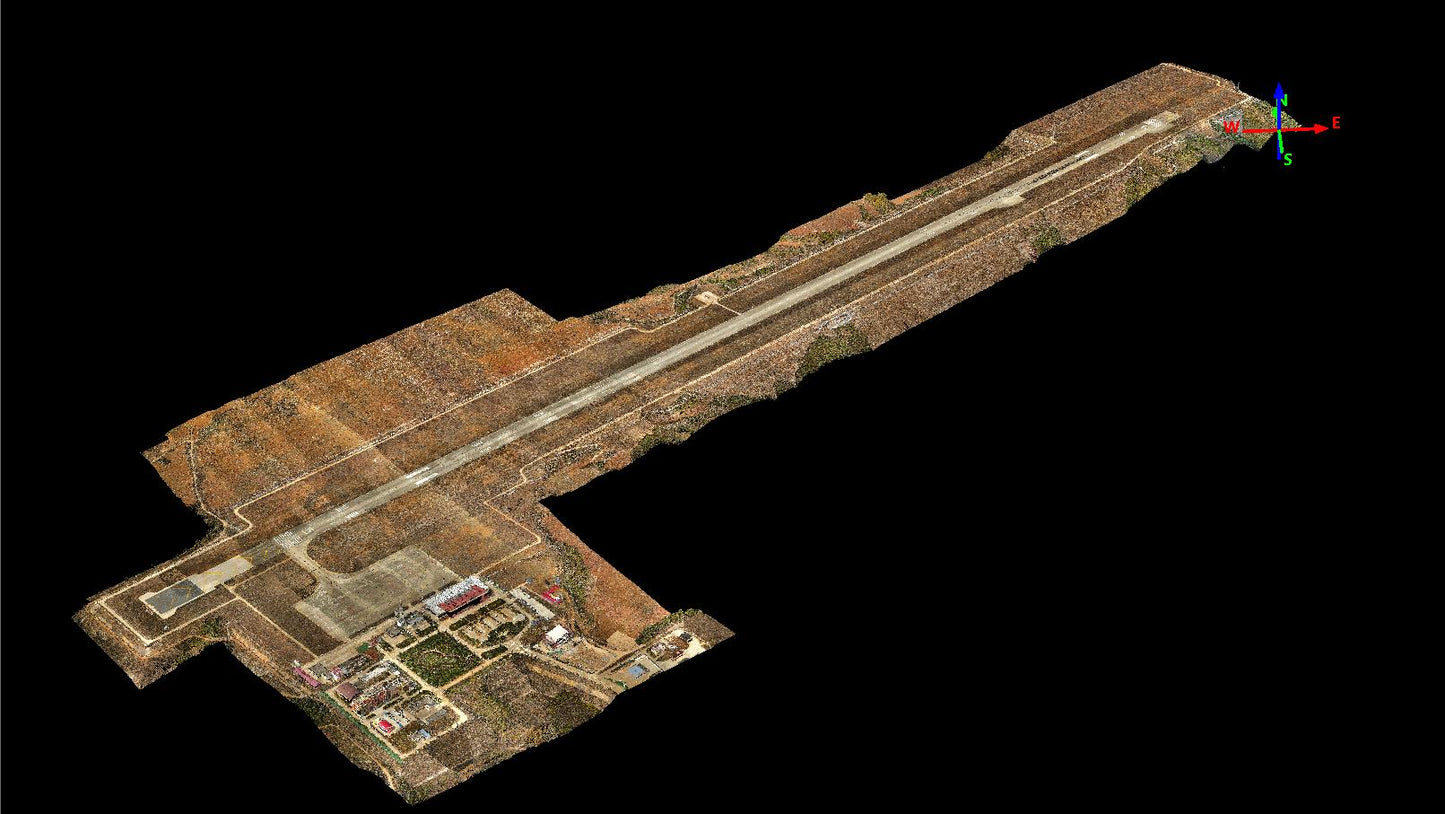
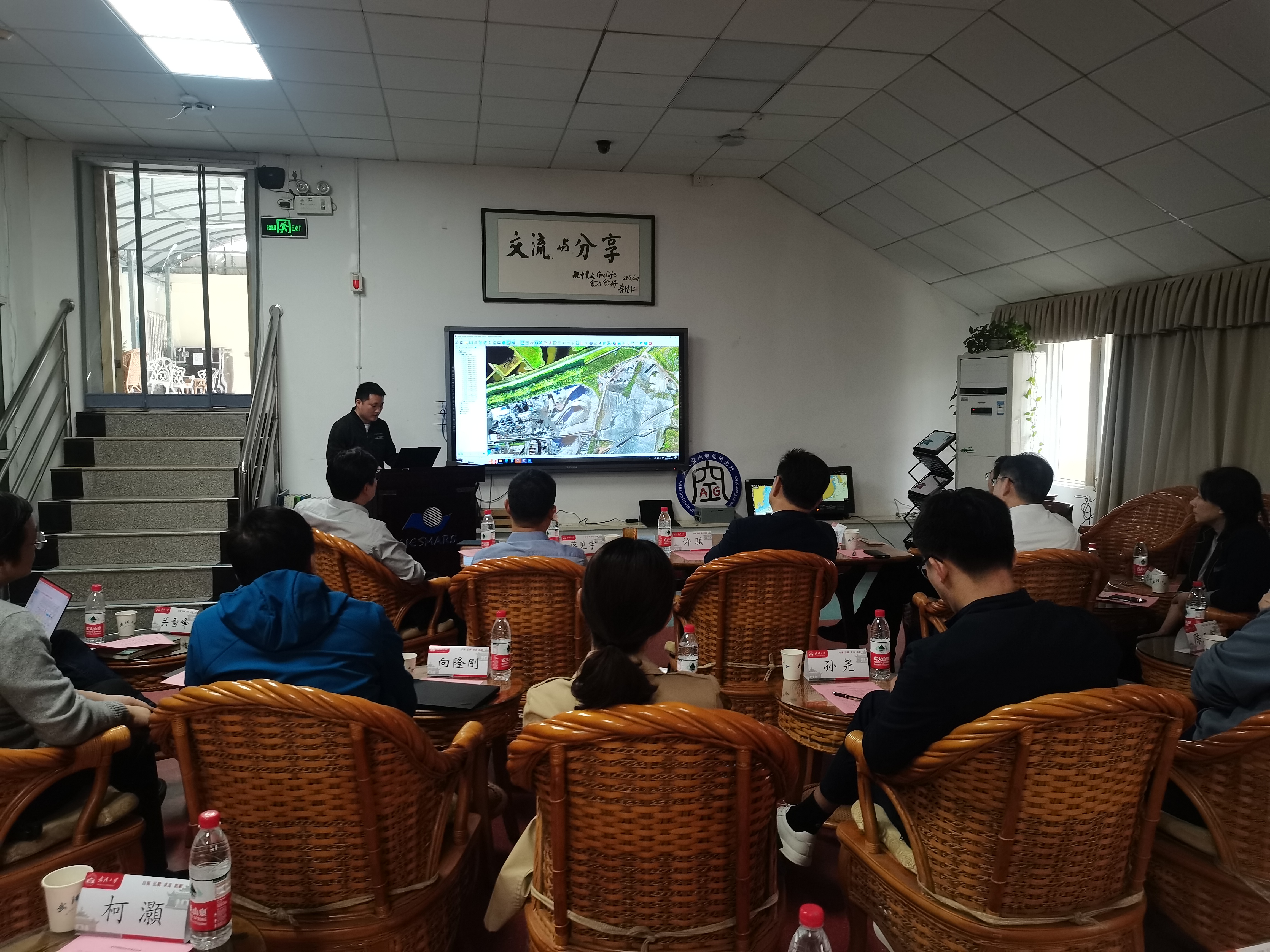
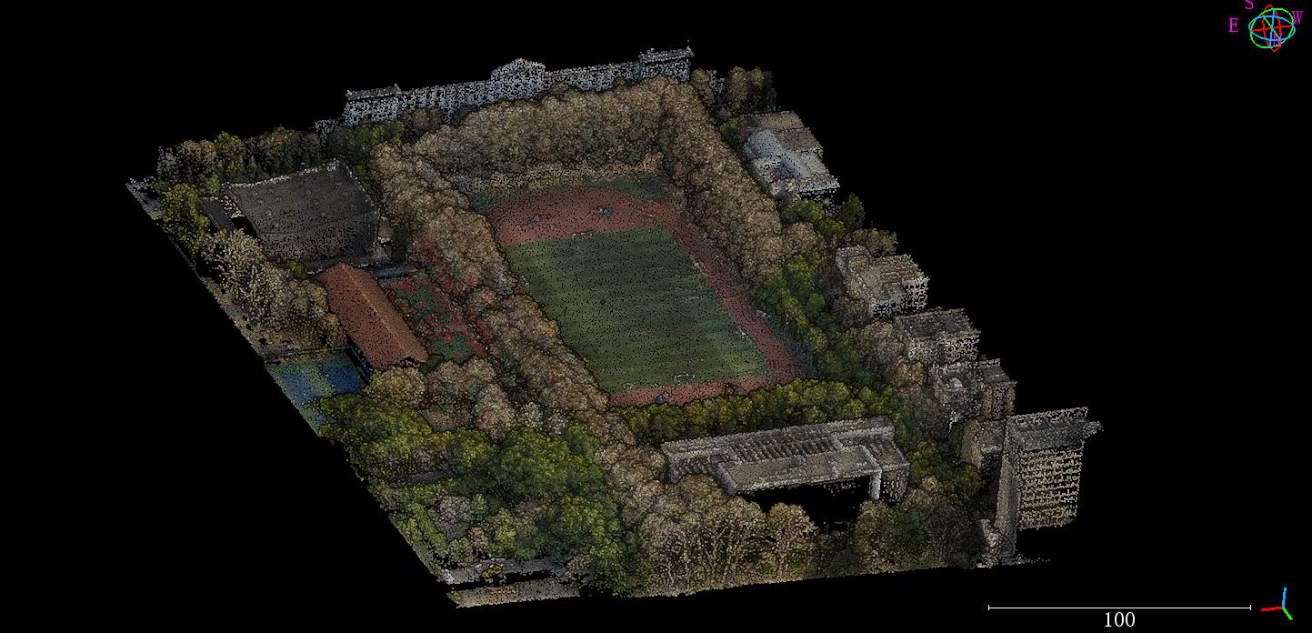
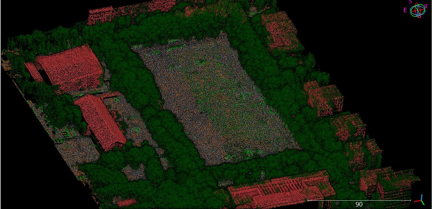
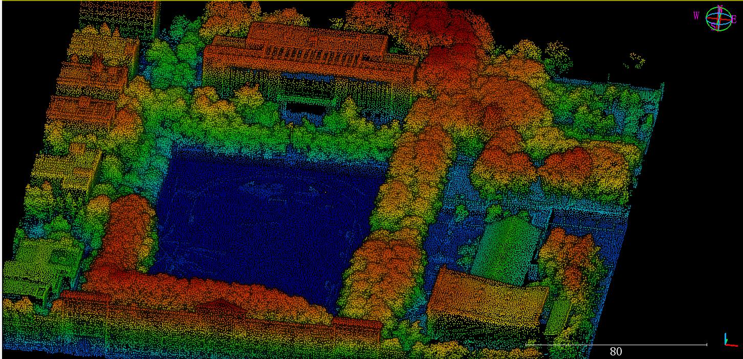
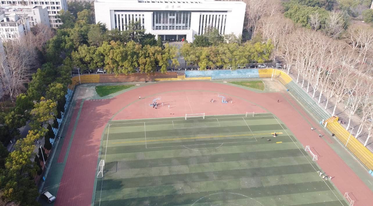
Geosun technical team is delivering a speech with experts of key labs from Wuhan University, the remote sensing major of which is of leading position on world stage.Geosun is attracting more and more experts' attention.
And pressent an accurate mapping in front of LIESMARS building (The State Key Laboratory of Information Engineering in Surveying, Mapping and Remote Sensing)
Free Trial Software LiDAR Scanning System gAirHawk GS-260X
Free trial test, achieve high precision
The Guideline of LiDAR Usage and Reference.pdf
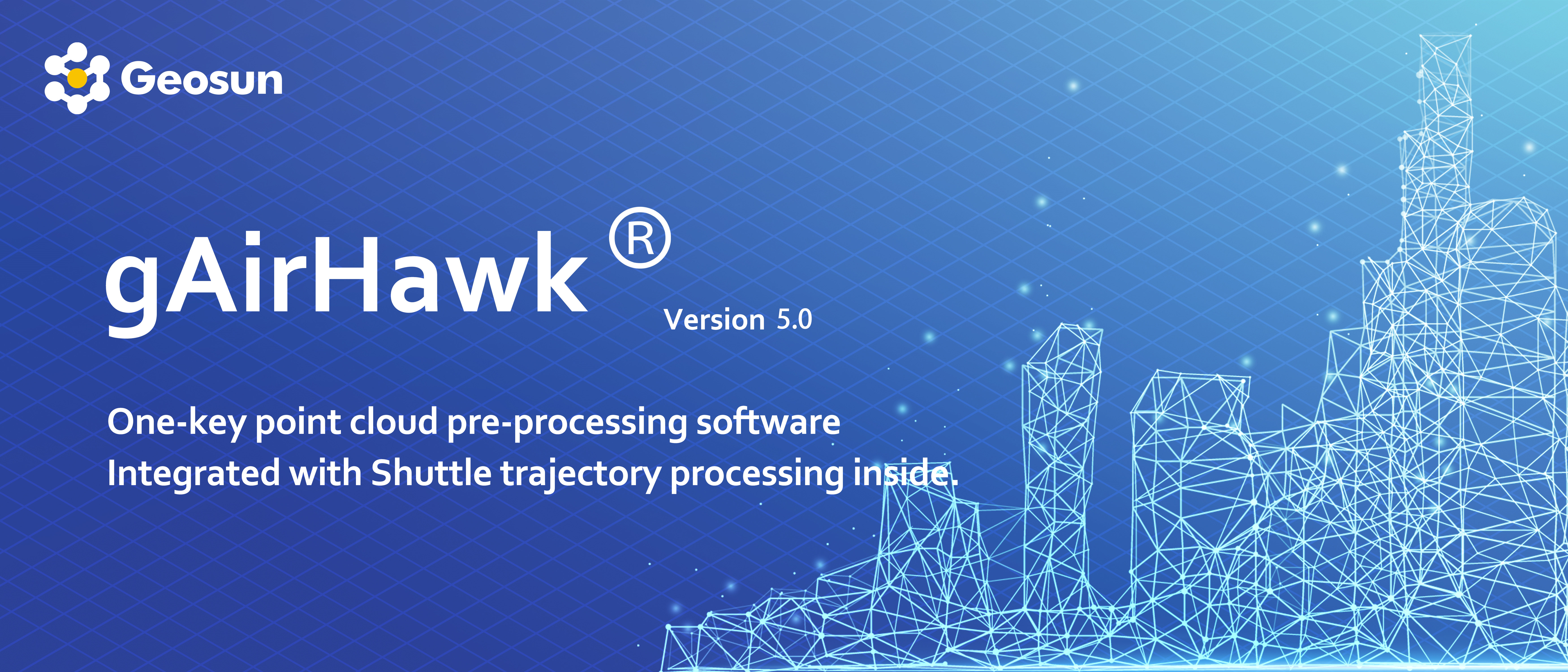
Point Cloud Pre-Processing Software Integrated With Trajectory Processing----Geosun Self-developed gAirHawk 5.0
Key Features of gAirHawk 5.0 Software
1. Raw data: intelligently load
2. Four default coordinates
3. Point cloud Optimization
4. Start and stop calculation

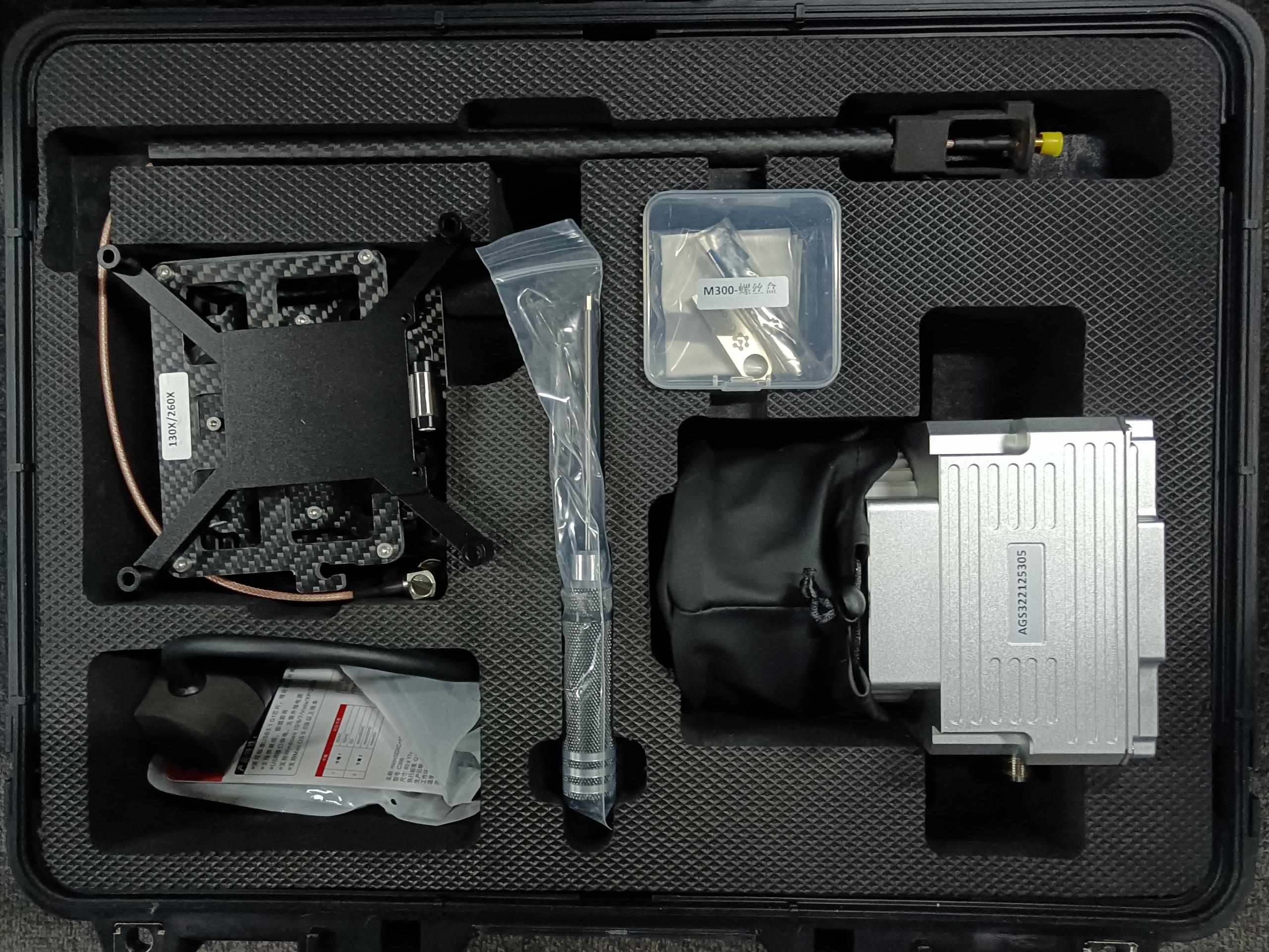
Package of LiDAR Scanning System gAirHawk GS-260X
LiDAR Scanning System gAirHawk GS-260X is packed by suit case with EVA material liner inside, then covered by hard carton box. It is suitable for air shipment and sea shipment.